Ever since antiquity there have been political boundaries from Ancient Israel to the Roman Empire to Medieval Europe to The British Empire. And, the formation of the United States of America, with its fluid constitution that brought forth the concept of a representative government “By the People and for the People,” population growth would dictate new boundaries. Indeed as the United States expanded across North America from ocean to ocean many new political boundaries were formed. There were new states, new counties and new legislative districts formed and to facilitate the delivery of mail to the ever-growing population within these political sub-divisions the creation of ZIP Codes was instituted. With certain exceptions for organizations and places that receive an enormous amount of mail and have their own ZIP Code, such as the Internal Revenue Service or JFK Airport. The volume of mail in years past reflected the size of the populations within a ZIP Code.
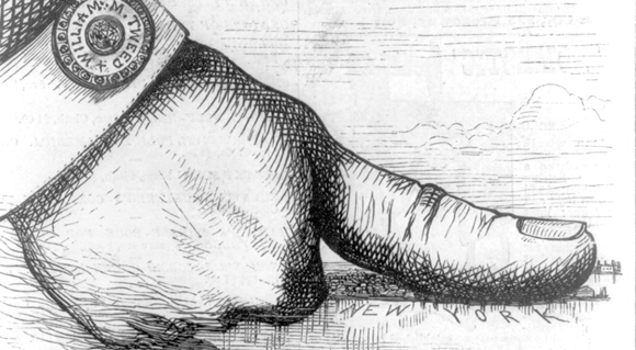
The federal election law mandates that every ten years a population census must be taken to determine the amount of people within legislative districts and to draw lines that reflect any population shifts that have occurred since the last census, that is, whether there has been a significant diminution or increase in the population of that political district and that the representation be adjusted accordingly. It is a fair concept, but the politicians have played with the boundaries to the extent that in parts of Queens they have gerrymandered the line to leave out certain buildings in the same row of houses. In Queens the politicians draw the lines as Susan Lerner, Executive Director of Common Cause, says, “To allow legislators to choose their voters instead of voters choosing their legislators.”
Eleanor Randolph writes in the Saturday, 18 February 2012 New York Times that the Albany legislators in charge of redistricting first created their own districts – outrageously contorted maps designed to keep Republicans in power in the senate and Democrats in the Assembly. They have not unveiled maps for 27 congressional districts – down from 29 districts because New York has not added enough people compared with other states. When those maps come out there will be no public hearings. If these politically skewed districts are approved by the legislature as expected, Gov. Andrew Cuomo should veto them. That would give a court-appointed special master a better chance to create independent maps that actually allow for competition in political races.
It is not often that I agree with political commentary published in the New York Times, however, Eleanor is quite correct. It is about time, particularly in Queens, that the game of racial, ethnic and party identity politics ends. It is not in the true spirit of America, it is divisive and lends itself to maintaining political ghettos which impede the assimilation of immigrants into the culture of America – One Nation, under God, Indivisible, with Liberty and Justice for All, that is why people emigrate to the United States of America.